
Walking a Norwich Street from Address to Owner
A Norwich street directory search works best as a chain of address-keyed records. Start with the physical address, find its parcel, read the assessed owner and mailing field, then use the deed reference to reach recorded parties. A voter lookup adds registration evidence, while Otis Library's reverse sections can show an earlier household. An owner, tax-mail recipient, registered voter, directory entry, and physically present person are different categories.
Run the sources in an order that preserves those distinctions:
- Enter the street name or number in Norwich MapGeo or Vision and save the situs address, parcel ID, owner, and mailing address.
- Open the same parcel in the map viewer, inspect layers, and use the street result or parcel identifier to keep adjacent records tied to the right land.
- Use the City Clerk land index with the book/page, instrument number, party name, or legal description to test the owner history.
- Use the Connecticut voter lookup for a person and Norwich town, understanding that a public name result is not a street-wide roster.
- Compare older names and numbers with Otis directories, Sanborn sheets, and neighborhood terms before treating a match as a past household.
This sequence turns a street directory into a documented trail and shows where the evidence stops.
Norwich MapGeo Search for Street Directory Records
The free Norwich MapGeo viewer is the clearest by-address starting point. Property Quick Search accepts an owner, street, parcel ID, or other indexed term. Results can be sorted, refined, zoomed, downloaded as CSV, or formatted as Avery labels. Themes, Share, Print, Selection, and Abutters add context. MapGeo warns that data may be third-party and incomplete.
The Norwich VisionAppraisal property search is the companion assessor route. Its inspected landing page did not expose every JavaScript field, historic cutoff, or result limit, so use MapGeo for visible street work and ask the Assessor about field cards.
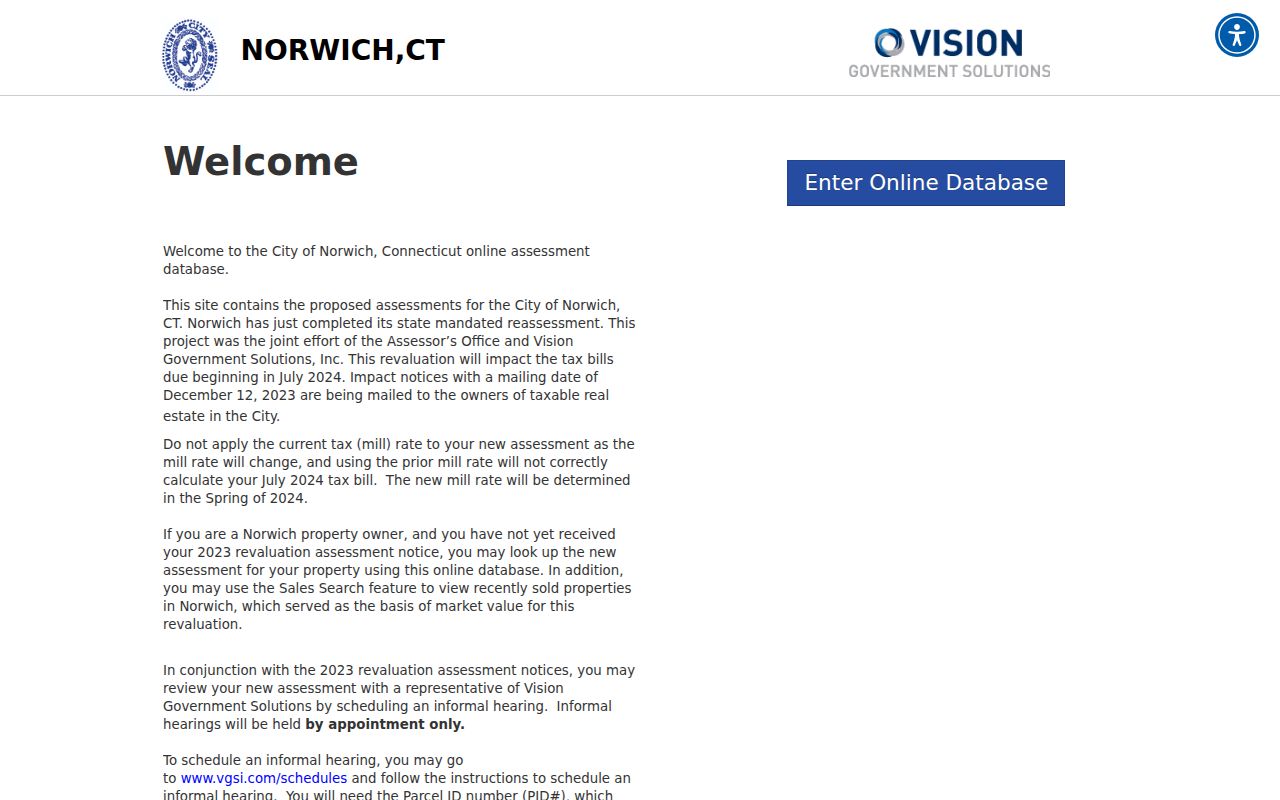
The assessor-search image shows the official property starting point. It is useful for finding a parcel, but it should not be read as a complete Norwich street directory of people.
| MapGeo search field or control | Input or action | Street result |
|---|---|---|
| Property Quick Search | Free text for owner, street, parcel, or another indexed term | Parcel rows and map previews |
| Advanced Search, Add condition | Text, dropdown, or range operator; conditions can be combined | Filtered parcel set |
| Spatial search | Draw a line, circle, or polygon | Parcels inside the selected area |
| Sort, Zoom Results, Refine | Use result controls after Search | Ordered rows or a narrower map view |
| Selection and Abutters | Choose a parcel and enter a distance in feet | Nearby parcels and an adjacency report |
| Download Results | CSV or mailing-label output | A saved research result subject to the current row limit |
| Themes, Share, Print | Open map layers or preserve a view | Zoning, flood, district, printable, or shareable context |
Norwich Parcel Cards: Situs, Mailing, and Legal Terms
A parcel card is easy to misuse when its address fields are collapsed. The situs is the physical location. The mailing address is where tax notices go and may belong to an agent, company, or post-office box outside Norwich. A legal description identifies land by lot, block, map, subdivision, or metes and bounds. The parcel ID remains useful when a street label shifts.
The sample 25 SHIPPING ST card displays ID 117-004-044.000-0000, owner CASTLE REALTY LLC C/O EMMET OIL CO., and mailing address PO BOX 266, STONINGTON CT 06378. It also shows total value $48,000, land value $47,200, land area 0.69 AC, zone GC, last sale $0 dated 1995-03-07, and Book/Page 1205/114. These fields do not prove current occupancy.
The Norwich MapGeo viewer lets a researcher select a parcel and move from its preview to layers, abutters, share, and print controls.
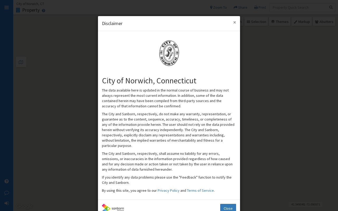
Keep map selection and record interpretation tied to the same parcel.
Address-record glossary.
- Parcel
- Mapped land with an assessment and identifier.
- Situs address
- The parcel's physical address, not its tax correspondence.
- Mailing address
- The owner's or agent's notice address, possibly outside Norwich.
- Legal description
- The deed's lot, block, map, subdivision, or metes-and-bounds wording.
- Criss-cross directory
- A street-and-number reverse directory leading to a name.
Norwich Street Records Across the Address Trail
Norwich records attach different people or events to a street. Assessor and MapGeo pair an owner with situs and mailing fields. The City Clerk records instrument parties. Permit and inspection portals date work. The voter route confirms a person, not everyone on a road.
| Address record | Keeper or portal | What it can show | Access |
|---|---|---|---|
| Assessment parcel card | Norwich Assessor, Vision, MapGeo | Owner, situs, mailing address, parcel ID, values, zone, land area, and sale reference | Free web lead; certification through the Assessor |
| GIS parcel and layers | Norwich MapGeo | Parcel geometry, zoning, flood or district layers, selection, abutters, and exports | Free viewer with a data disclaimer |
| Deed and land index | Norwich City Clerk | Grantor, grantee, instrument, recorded date, book/page, consideration, legal description, and linked records | Paid subscription or clerk route; images may be restricted |
| Voter lookup or file | SOTS and Norwich registrars | Registration status, party, district, polling information, and lawful public-file fields | Public name lookup is limited; full file is $300 and purpose-bound |
| Permit and inspection route | Building Department, ViewPoint, OpenGov | Permit, plan review, inspection, certificate, complaint, or enforcement event by address | Current portals; older records may need staff |
| Reverse directory and map | Otis Library, Sanborn, local-history collections | Earlier address-to-name clues, building footprint, street number, and neighborhood context | Library or archive access; date and page must be cited |
A parcel ID can tie a card to a deed or permit when a street has more than one spelling. A deed party or permit applicant is not automatically an occupant.
Norwich Abutters and Advanced MapGeo Filters
MapGeo's Abutters tool turns one parcel into an address-neighborhood result. Choose a parcel, select Abutters, enter feet, and choose Find. The parcel turns red and the radius purple. Map clicks can add or remove parcels, with CSV, Avery-label, and Abutters Report output. MapGeo Help says the report can be taken to town hall for certification, but it remains a parcel adjacency result, not a block roster.
Advanced Search combines text, dropdown, or range filters with a line, circle, or polygon. Preserve the distance, map date, search phrase, layer, and parcel ID. A radius can cross a road or district, and a nearby parcel may have a different mailing address, entity owner, protected voter, or no public person record.
Norwich Deeds from Book and Page to Past Owners
The City Clerk's land-record index is a paid subscription with assigned credentials. The form lists one week for $50, one month for $100, six months for $250, and one year for $450, with an annual plan for up to five users. Payment may be by business check, card, or money order, not personal check. Images and map indexing are excluded, so the counter remains the route for older books, maps, certified copies, and restricted images.
The form accepts Party Name, Document Type, Date From and To, Consideration, property type or name, Instrument Number, Book/Page, Town, Lot/Block, board or commission, received date, meeting type/date, Legal Description Line 1, and Map Number. Results can show type, instrument number, recorded date/time, book/page, pages, consideration, legal description, direct or indirect parties, linked documents, and referring documents. Party searches use a last-name/first-name string or company name without a comma.
The Norwich land-record index is the source for the paid search fields and result controls.
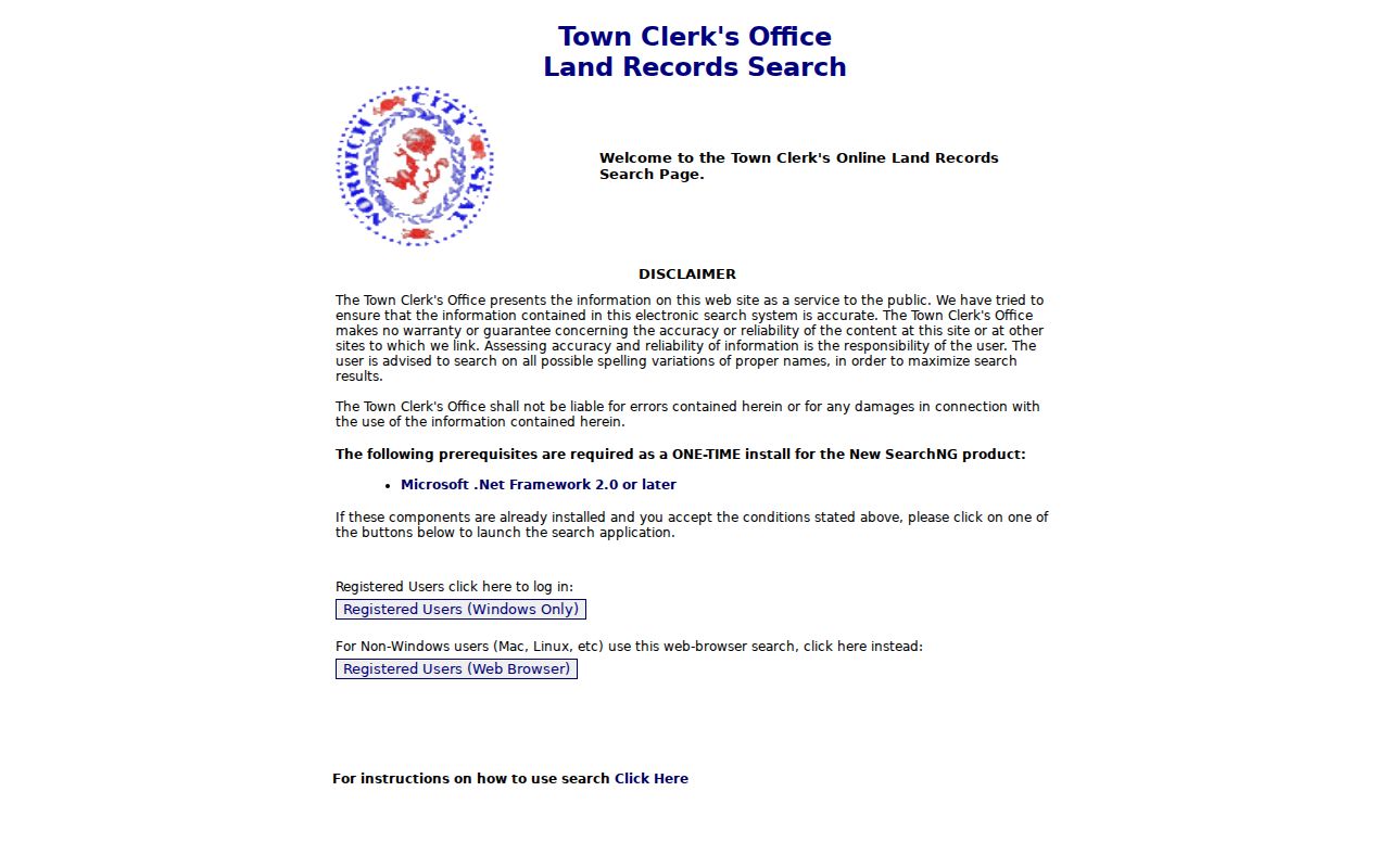
The land-index image shows why an online hit may still need a clerk check. Some rows display restricted-image or no-image notices, and the online start year is not shown in the official materials.
For a backward owner trail, start with MapGeo's book/page or instrument reference. Search the grantee, read the grantor and legal description, then search that seller as a grantee. When the online range ends, ask the clerk for the deed-book range. A deed chain traces title history, not every occupant.
Norwich Permits and Inspections by Address
Norwich Building records are keyed to a property address and add dates the parcel card does not show. The Norwich Building Department page directs current applications to ViewPoint Cloud, says paper or emailed applications are no longer accepted, and identifies the inspection route. OpenGov is the preferred inspection route. A request supplies inspection type, property address, and permit information. Older permits may remain on a former system.
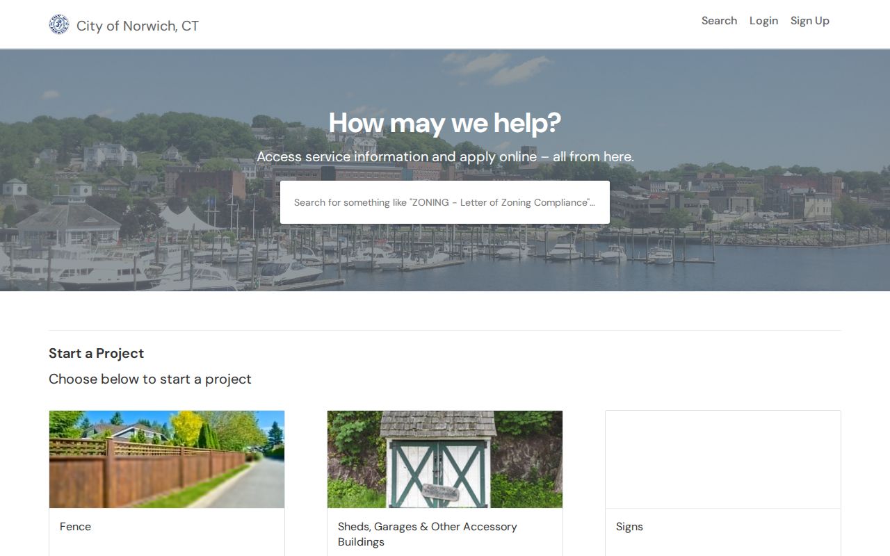
The Norwich ViewPoint Cloud permit portal is the current application route described by the City.
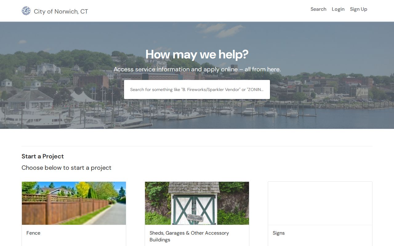
A permit record can date work or name an applicant, but it does not create a complete list of people at the address.
The Norwich OpenGov inspection request portal carries the inspection workflow, including the property and permit details that help staff locate the right file.
An inspection event is a dated address record, not an occupancy register. Appointments can be fourteen or more days out during high volume. Ask Building staff about older systems. For tax-bill or payment-history questions, use the City's Tax Collection page rather than treating an assessment card as a tax account.
Norwich Postal Cities and Neighborhood Street Names
A street result may carry a postal city different from the municipal name. The official list associates 06360 with Norwich, 06380 with Taftville, and 06389 with Yantic. A 06365 Preston address may enter boundary research, but Preston is neighboring postal context. The USPS ZIP Code Lookup provides address and city/state routes for checking the exact street.
Norwichtown, Greeneville, Taftville, Occum, Yantic, Bean Hill, Chelsea Parade, Laurel Hill, Shetucket, Thamesville, East Side, and West Side appear in directory, map, planning, and historic records. Pair an old neighborhood, mill, or landing term with a cross street, owner, parcel ID, year, or legal description. No complete citywide street-renumbering table was located, so USPS and historical context both matter.
Norwich Historical Street Directory Crosswalk
Otis Library's Norwich directory holdings run from 1846 to 1986. Stedman covers 1861-1874, Price and Lee begins in 1875, and Eastern Connecticut State University holds Norwich directories from 1861-1960. The 1921 scan includes street and community sections. Volume gaps and the disputed terminal year need a library check.
Sanborn maps test whether a building and number fit the same place. Located years include 1885, 1892, 1895, 1897, 1903, 1909, 1914, and 1926. The Library of Congress 1897 set has 21 sheets and shows footprint, materials, use, street number, and lot context, not occupancy. Pair it with the 1878 Stedman map, a directory street section, and a MapGeo parcel.
For the full volume-by-volume treatment, use the Norwich directory book collection. If the goal changes from a whole street to one person, the Norwich resident lookup route uses a different verification order.
Norwich Voter Results Are Not a Street List
The SOTS lookup uses a town and person's name: Town, Last Name, First Name, and Date of Birth in MM/DD/YYYY format. Results can show status, party, polling place, and related election information. It is not a list of all voters on a road. The authorized full voter file is CSV, costs $300, requires a statutory purpose, and bars personal or private use, harassment, advertising, solicitation, sale, marketing, reproduction, or display outside permitted purposes.
Only the birth year is released under current SOTS guidance after Public Act 26-1, section 96. A safety statement under CGS section 9-50d may protect a voter. A non-match can reflect spelling, town selection, protection, inactive status, or nonregistration, not an empty address.
Keep voter evidence beside the parcel card rather than inside it. The assessed owner may be an entity, the mailing address may be in another town, and a registered voter may have a separate mailing field. The records are stronger together because their limits remain visible.
What the Norwich Street Directory Leaves Private
A careful street directory can show parcels, assessed owners, mailing recipients, deed parties, permits, voter fields, and historical address leads. It cannot show every household member, physical person, or private utility customer. DMV data is controlled by the Driver's Privacy Protection Act. Children, nonregistered people, protected voters, Safe at Home participants, and agent or post-office-box users may be absent.
Public records support lawful personal research, family history, reconnecting, and civic curiosity, but a public address is not permission to watch, threaten, repeatedly contact, or intimidate. Connecticut stalking laws include CGS sections 53a-181c through 53a-181e, and harassment laws include 53a-182 and 53a-183. Preserve the source and ask the custodian to correct an indexing error.
Lawful personal use. Use Norwich street and address records for a specific, lawful purpose. Do not use an owner name, voter result, deed party, permit applicant, or directory entry to stalk, harass, threaten, or harm another person. A parcel match is a record lead, not a license to intrude into private life.